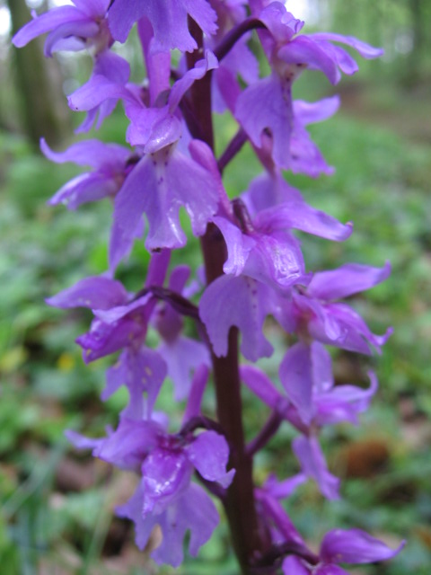
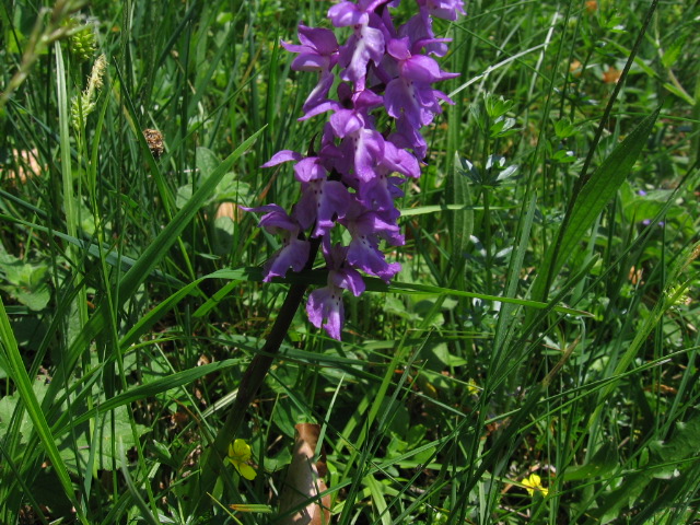
- Photo Date : April 24, 2011
- Location :Near Jaujac (Ardèche), France.
N44Ḟ 19.174' E4Ḟ 24.688'
|
 |
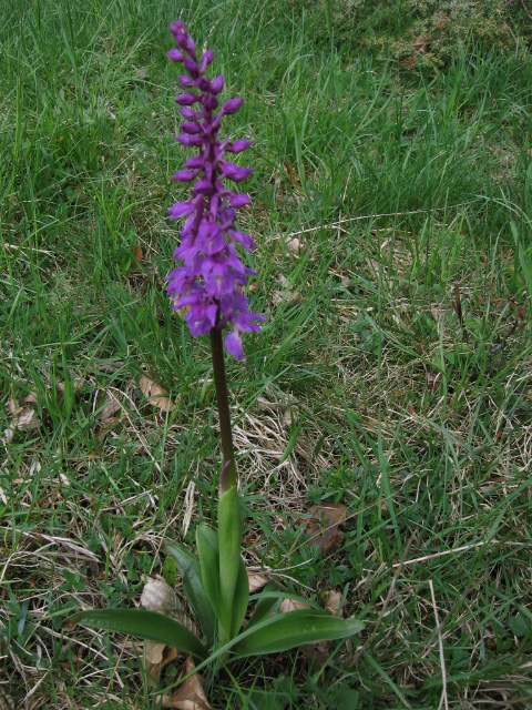
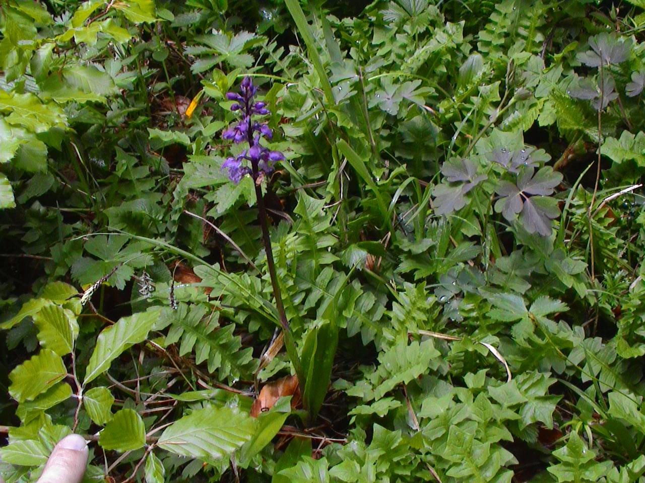
- Photo Date : May 14, 2006
- Location :Near Schafbuckel summit (Neidlingen) in the Swabian Alb.
N48Ḟ 34.517' E9Ḟ 32.639'
|
 |
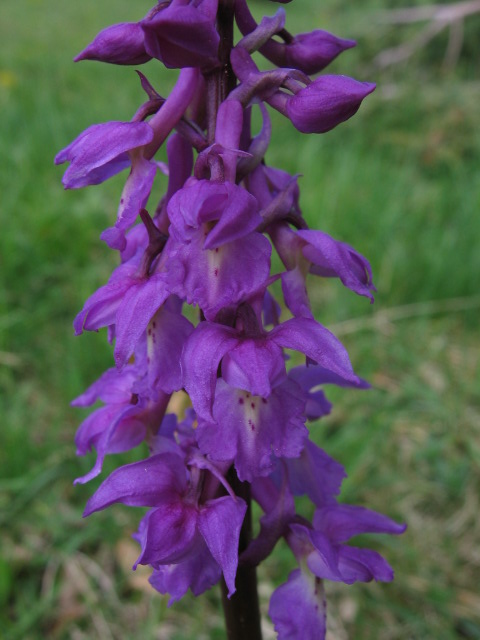
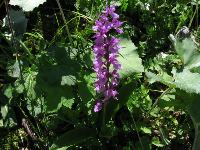
- Photo Date : May 14, 2006
- Location :Near Schafbuckel summit (Neidlingen) in the Swabian Alb.
N48Ḟ 34.517' E9Ḟ 32.639'
|
 |
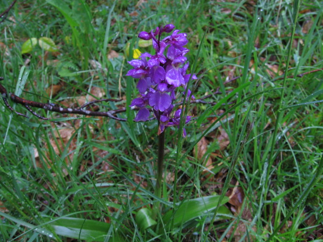
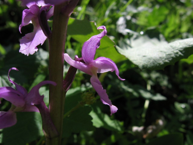
- Photo Date : May 16, 2005
- Location :Lochenstein Mountain near Balingen in the Swabian Alb.
N48Ḟ 13.192' E8Ḟ 50.311'
|
 |
- Siting Date :May 16, 2005
|
- Location :Lochenstein Mountain near Balingen in the Swabian Alb.
N48Ḟ 13.189' E8Ḟ 50.332'
|
- Siting Date :May 20, 2006
|
- Location :NSG 4.117 near Tieringen, Swabian Alb.
N48Ḟ 13.070' E8Ḟ 52.671'
|
- Siting Date :May 20, 2006
|
- Location :NSG 4.117 near Tieringen, Swabian Alb.
N48Ḟ 13.189' E8Ḟ 52.631'
|
- Siting Date :May 20, 2006
|
- Location :NSG 4.117 near Tieringen, Swabian Alb.
N48Ḟ 13.089' E8Ḟ 52.586'
|
- Photo Date : May 28, 2005
- Location :Near Hittisau, Austria.
N47Ḟ 26.646' E9Ḟ 58.831'
|
 |
- Photo Date : May 28, 2004
- Location : Along the lane through the Rappenalptal valley near Obertsdorf in the German Alps.
|
 |
- Siting Date :June 8, 2007
|
- Location :Niederthai, Ötztal, Austria (Tirol).
N47Ḟ 07.738' E10Ḟ 57.897'
- Elevation :1570m
|
- Siting Date :June 14, 2016
|
- Location :Parc National du Mercantour, Vallon de la Minière
|
- Siting Date :June 18, 2005
|
- Location :Hoch Krumbach, Austria, near the Alpine border with Germany.
N47Ḟ 16.446' E10Ḟ 09.624'
|
- Photo Date :June 19, 2005
- Location :Oybach valley, near Oberstdorf in the German Alps.
N47Ḟ 22.705' E10Ḟ 21.769'
|
 |
- Photo Date :June 19, 2005
- Location :Oybach valley, near Oberstdorf in the German Alps.
N47Ḟ 22.705' E10Ḟ 21.769'
|
 |
- Siting Date :June 19, 2005
|
- Location :Dietersbach valley, near Oberstdorf in the German Alps.
N47Ḟ 21.256' E10Ḟ 21.065'
|
- Siting Date :June 24, 2021
|
- Location :Col de la Faucille (Jura), France
|